Dietkirchen is located in direct connection to the motorway A 3 Cologne-Frankfurt. From the “Limburg Nord” junction, it is about 3 km in an easterly direction via the K 473 and K 472 to the entrance to Dietkirchen.
The district road K 472 leads from Limburg through Dietkirchen to Dehrn, a district of the town of Runkel.
Via the B 49 from Gießen (approx. 60 km) as well as the B 54 from Siegen (approx. 70 km) you can also quickly reach the junction of the A3 and thus reach Dietkirchen via the previously described route.
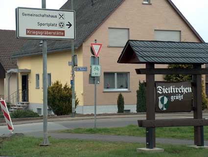
The approach to the cemetery comes from the direction of Limburg, on the Kreisstrasse 472, directly at the entrance to Dietkirchen turning right into the street “Bildstock”.
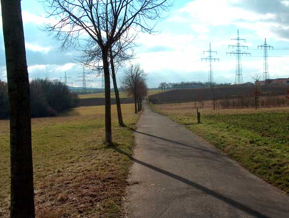
This road “Am Bildstock” leads through a residential street, which leads straight ahead into a tarred field path, which in its extension leads to the cemetery.
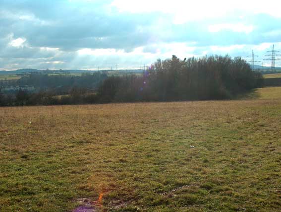
The cemetery is embedded in a small grove, on the side of which is facing the village Dietkirchen, there is a rather large weeping willow.
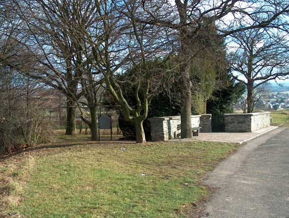
The entrance to the cemetery is enclosed by a small wall. In front of the entrance there is a rest bench.